
Our Services

Exploration of Minerals:
Geological Services
MAPPING
GEOLOGICAL MAPPING(REGIONAL AND DETAILED).
STRUCTURAL MAPPING.
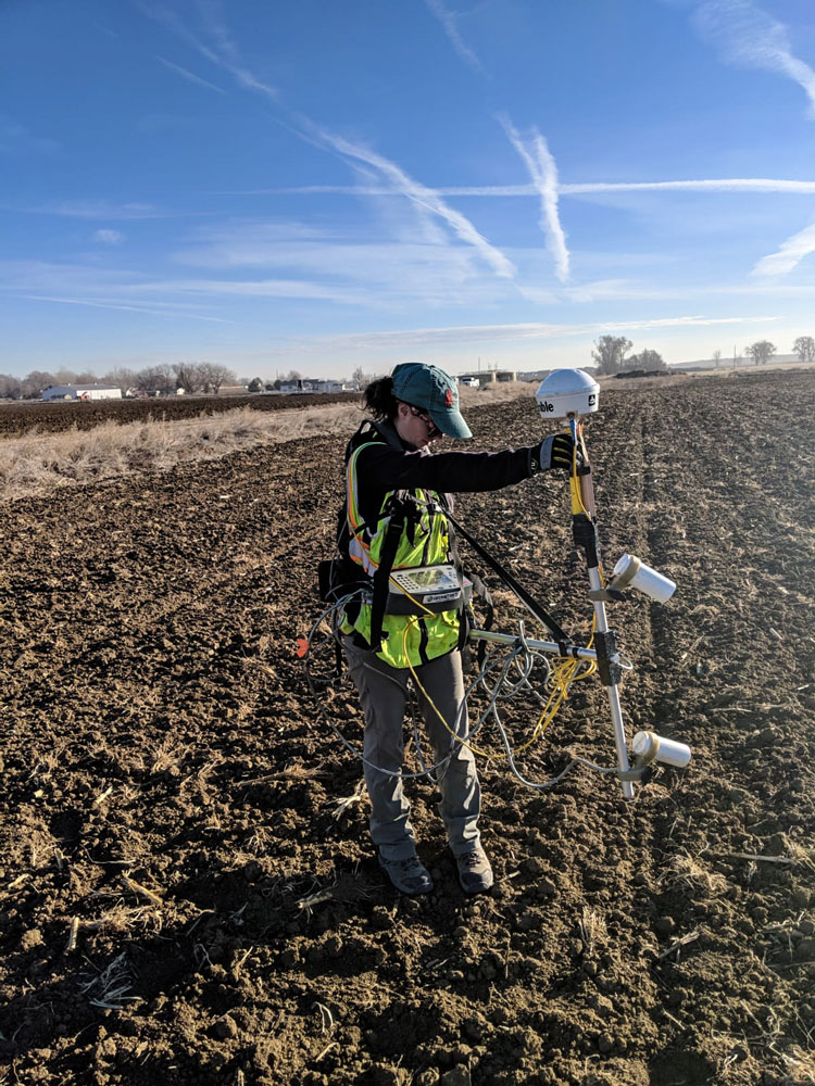
SURVEY
RECONNAISSANCE SURVEY.
TOPOGRAPHIC SURVEY.
REMOTE SURVEY (USING DRONE).
SAMPLING- Rock, Core, Mine, Bulk, etc.
CORE LOGGING AND INTERPRETATION.
DATA COMPILATION, RESEARCH AND EVALUATION.
MINERAL/ORE RESERVE ESTIMATION .
GEOLOGIST SERVICES- For Exploration Job
FIELD TRIP SERVICES.
Geophysical Services
SLIM HOLE GEOPHYSICAL LOGGING.
Geophysical logging for Coal, Lignite, CBM and Base Metals Exploration for boreholes up to 2000m depth and diameter varying from 60mm to 300mm by using multi parameter combination probes culmination to following direct boreholes.
Self Potential Single Point Resistance 16″ and 64″ Normal Focused, Resistivity, Neutron-Neutron ,High resolution Density Bulk Density, Caliper ,Natural Gamma ,Temperature ,Full Wave Compensated, sonic Cement Bond Logging, Flowmeter, Casing Collar, Locator Deviation, Spectrometric Gamma-Gamma, Borehole Geometry Probe, Spectrometric Neutron-Gamma for deciphering depth and continuity of sedimentary formation and geotechnical investigation .
SURFACE GEOPHYSICAL SURVEY.
ELECTRICAL RESISTIVITY SURVEY
Delineation of the continuity and depth of metallic ore deposits.
Delineation of ground water, brine pockets and salt/fresh water interface and aquifer zone.
Deciphering depth and continuity of sedimentary formation and geotechnical investigations.
For interpretation and preparation of structural mapping.
For the interpretation and delineation of basinal configuration .
MAGNETIC SURVEY
For exploration of mineral bearing ore body or even oil bearing sedimentary structures.
To locate and map the remains of buried structures by archaeologists.
Oil and gas exploration.
Geological mapping studies.
Mineral exploration.
Civil engineering site investigations.
Used for engineering from utility locating to structural assessments.
It is used on landfill sites to assess the landfill limits.

Drilling services
1. REVERSE CIRCULATION DRILLING
2. VACCUM SUCTION DRILLING
3. LARGE DIAMETER DRILLING
4. HYDROSTATIC CORE DRILLING
5. ANGULAR BOREHOLE DRILLING
6. ROTARY HOLE DRILLING
7. AUGER DRILLING